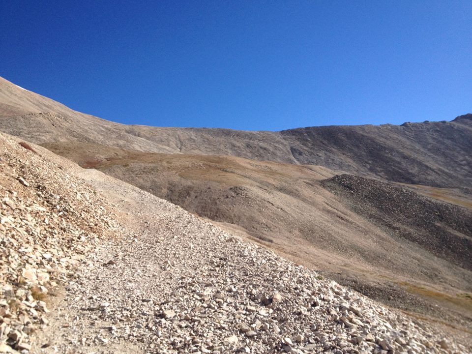
Mount Sherman is a fourteener in Colorado, which means a mountain over 14,000 feet in elevation. Colorado has 54 mountains with that status. Mount Sherman is located in the Mosquito Range, approximately 8 miles south of Mount Lincoln. It lies on the border between Lake and Park County, approximately seven miles east-southeast of Leadville.
Mount Sherman, which has an elevation of 14,036 feet, is one of the most nondescript of the fourteeners, and one of the easiest to climb (which is why we selected it for our first fourteener hike; it is recommended as a beginner fourteener.
The round trip is approximately 5.25 miles and the trailhead begins at around 12,000 feet. We hiked this on September 13, 2014 and had a great deal of struggle with seemingly supernatural winds. Everyone said it was usually a windy hike but experienced hikers we met along the trail said they had never seen wind like that before on ANY fourteener. When we reached the last two vertical climbs, we rounded a curve where the mountain was no longer blocking us from the other side and we could see the horizon on both sides of us – a bit of a “saddle.” When we stepped into that saddle the wind nearly knocked us over. It blew my hat right off my head and completely off the mountain, carrying it hundreds of feet above us. People were holding onto their dog’s collars because the wind was knocking over the animals. After watching people crawl and belly flop around, we decided to not try for the summit so we came down and decided to try it another day.
Beautiful hike, historic mines along the way, amazing people on the trail.


